Land
Buy
Cebolais de Cima e Retaxo, Castelo Branco
50 000 €
Ref: 801/T/00032
 ;
;

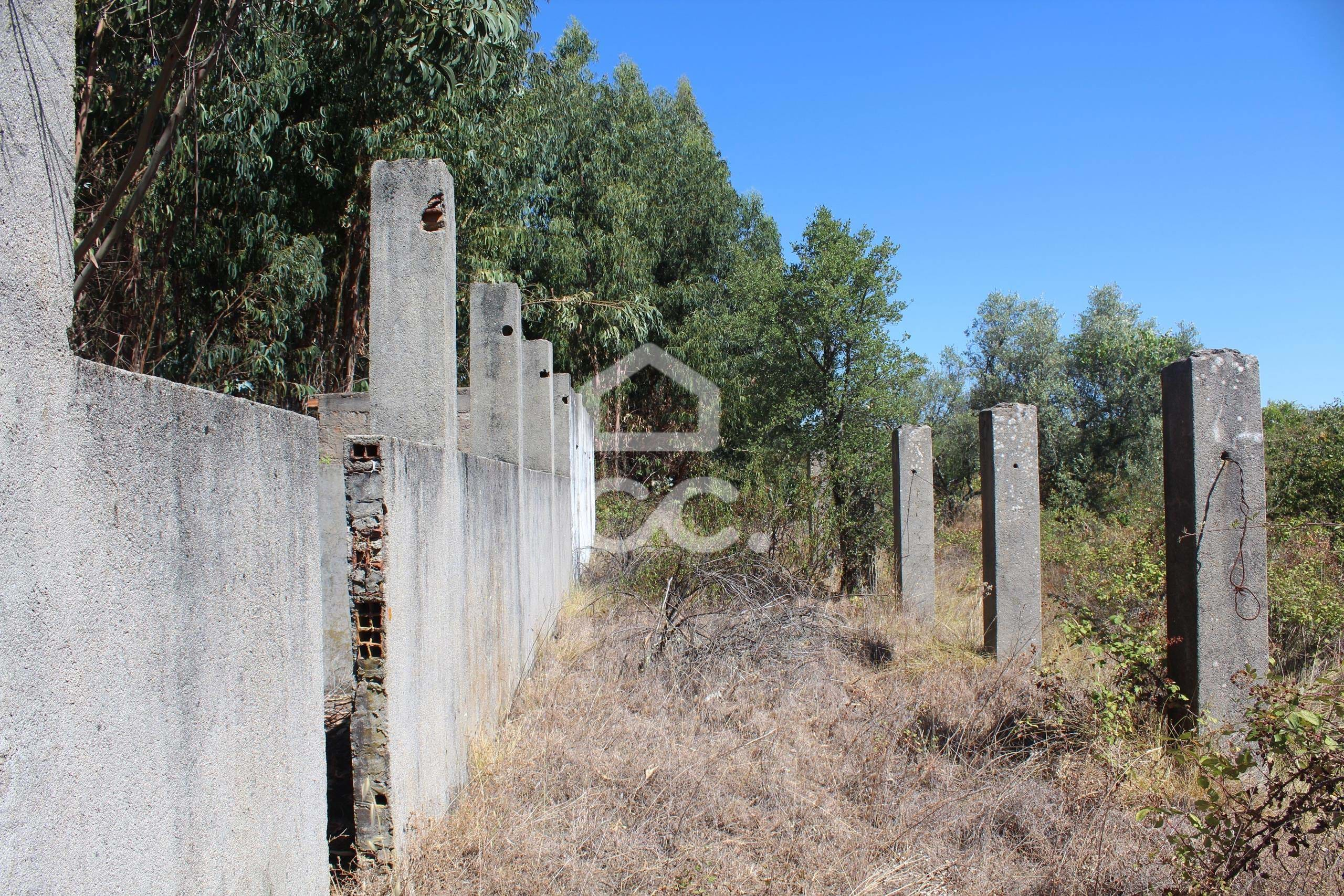
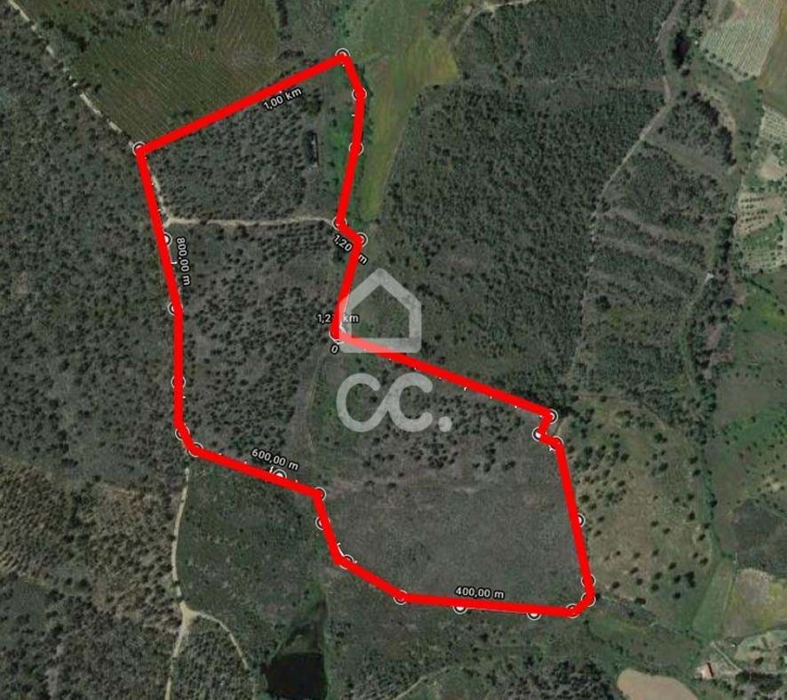
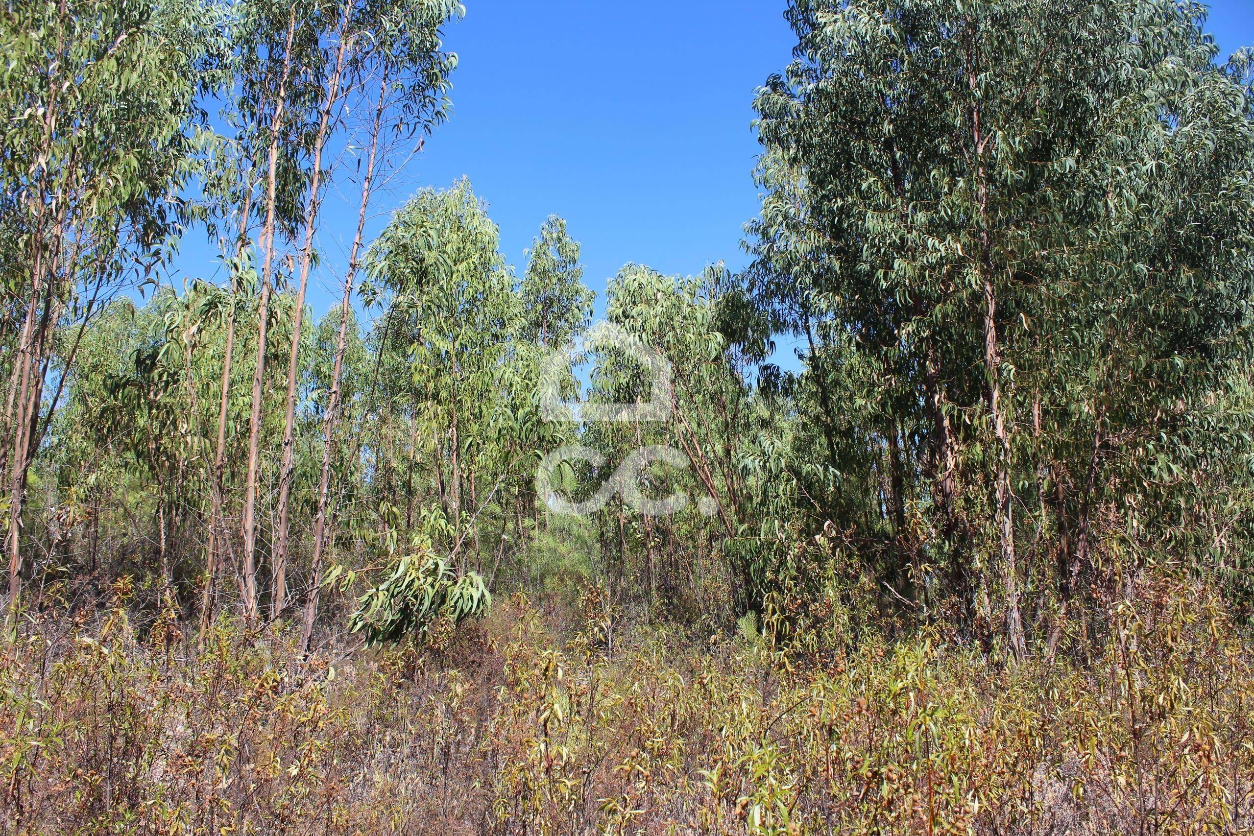
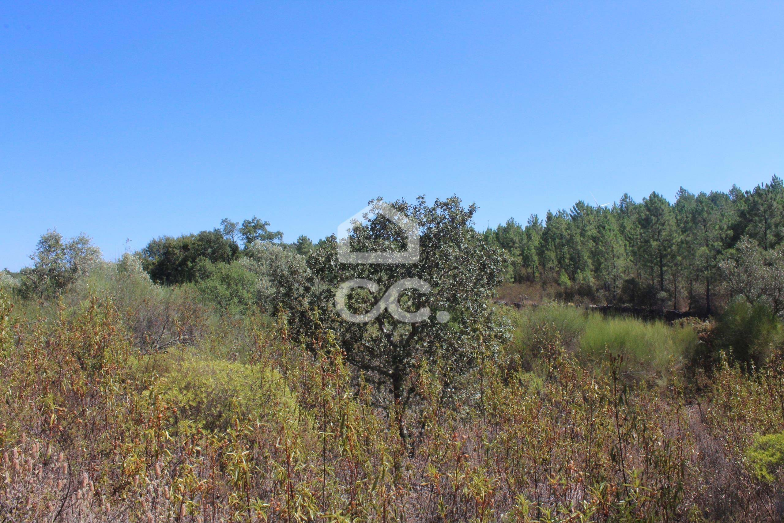
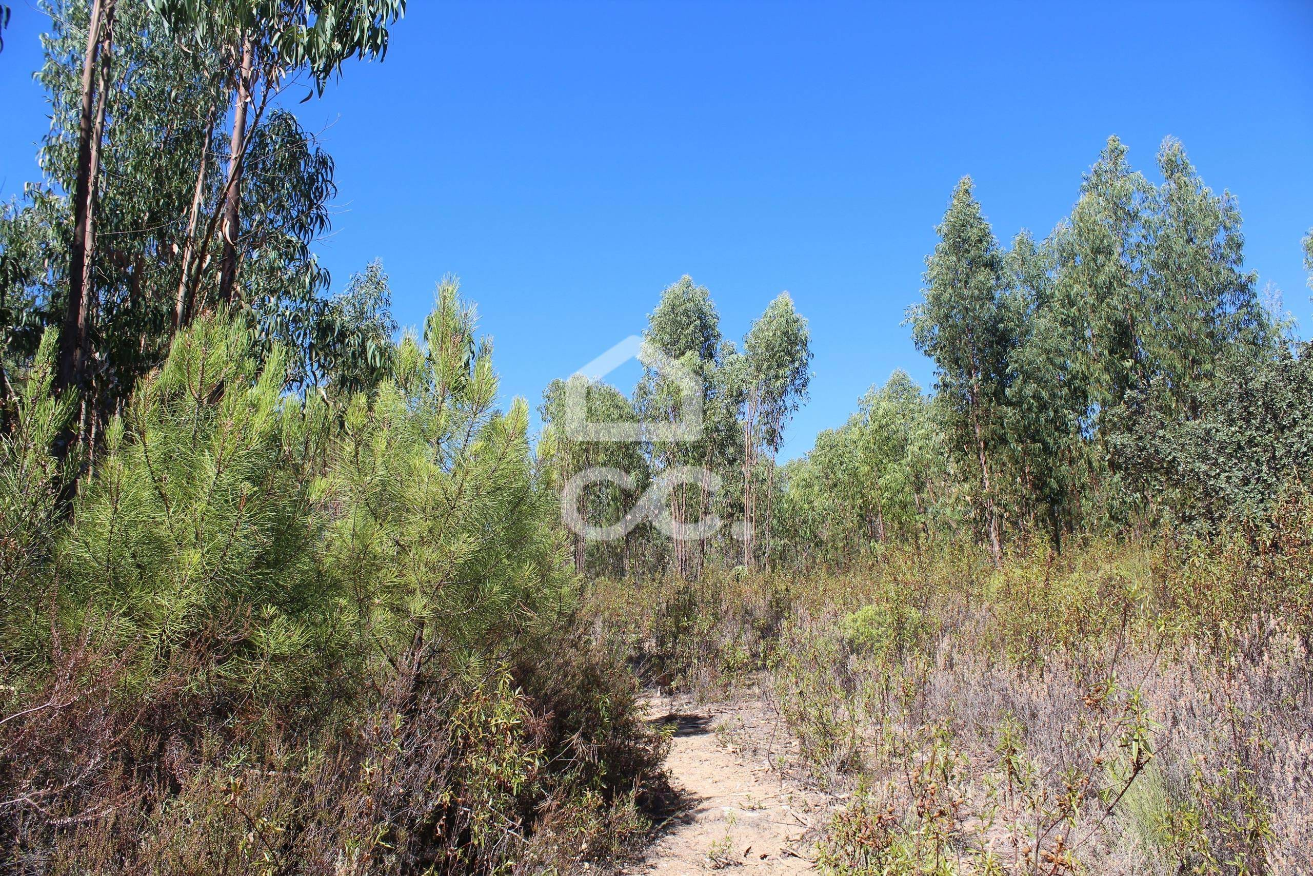
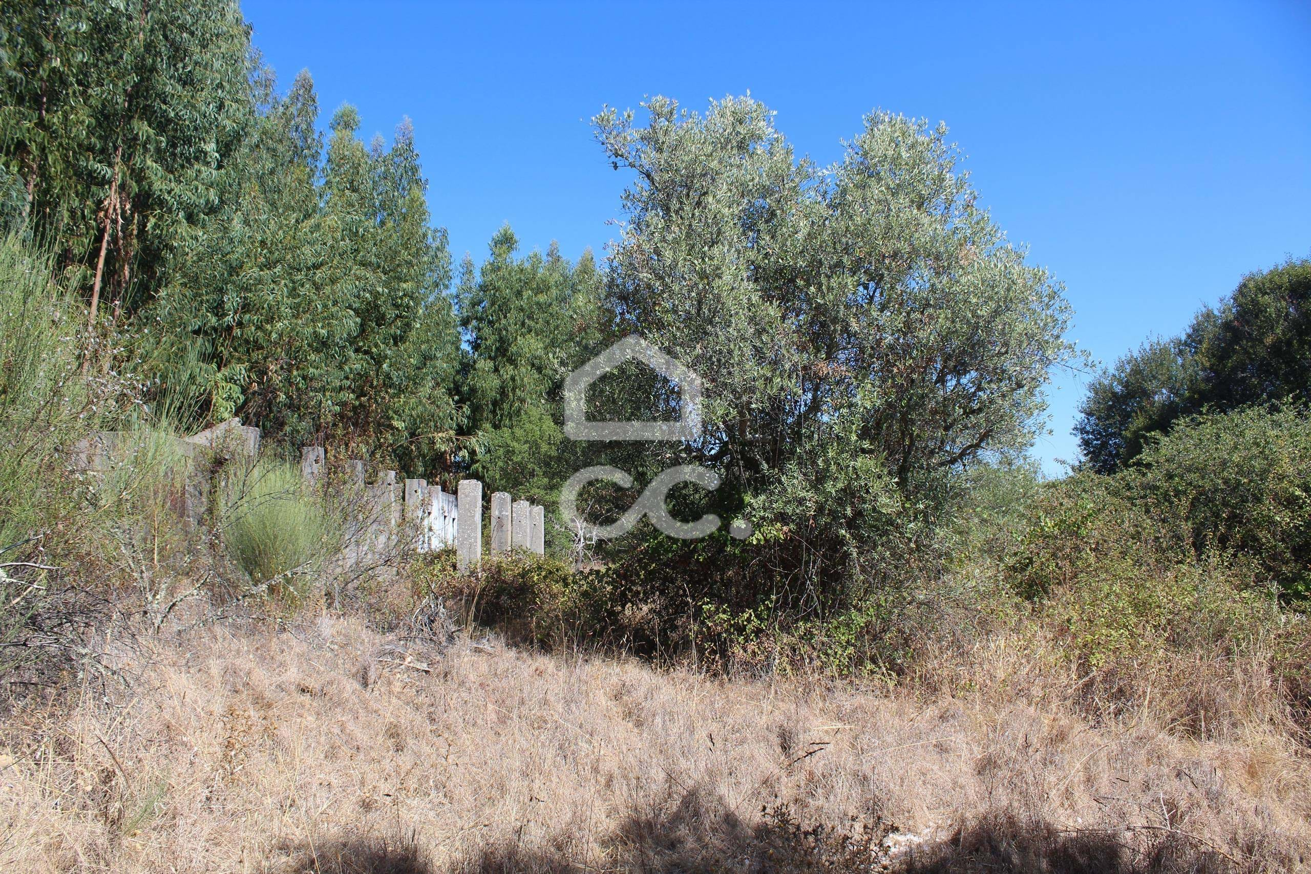
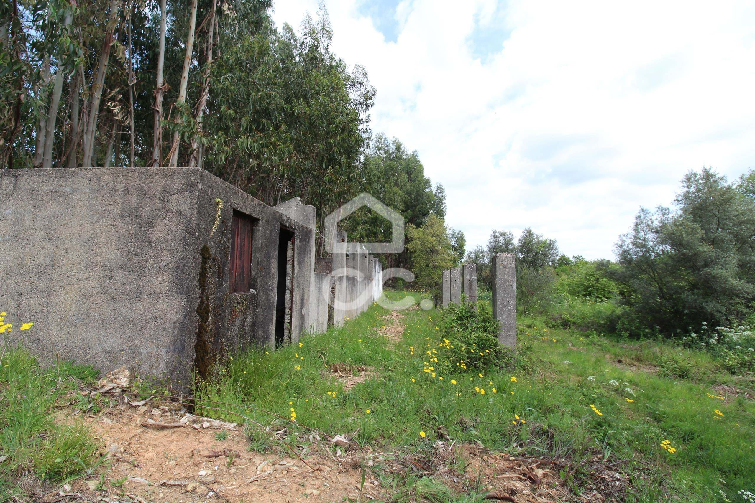
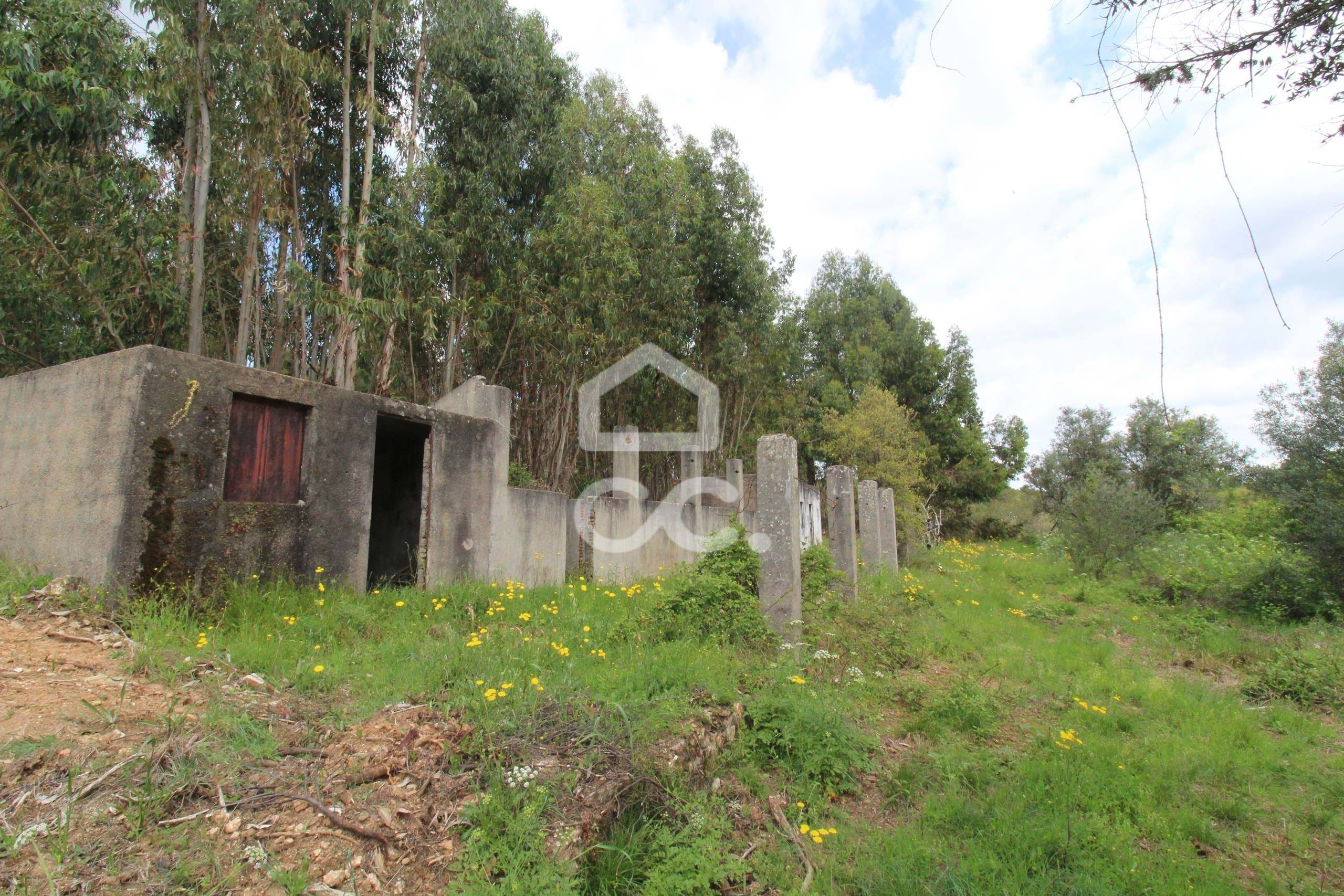
- 65250 m2
- 65250 m2
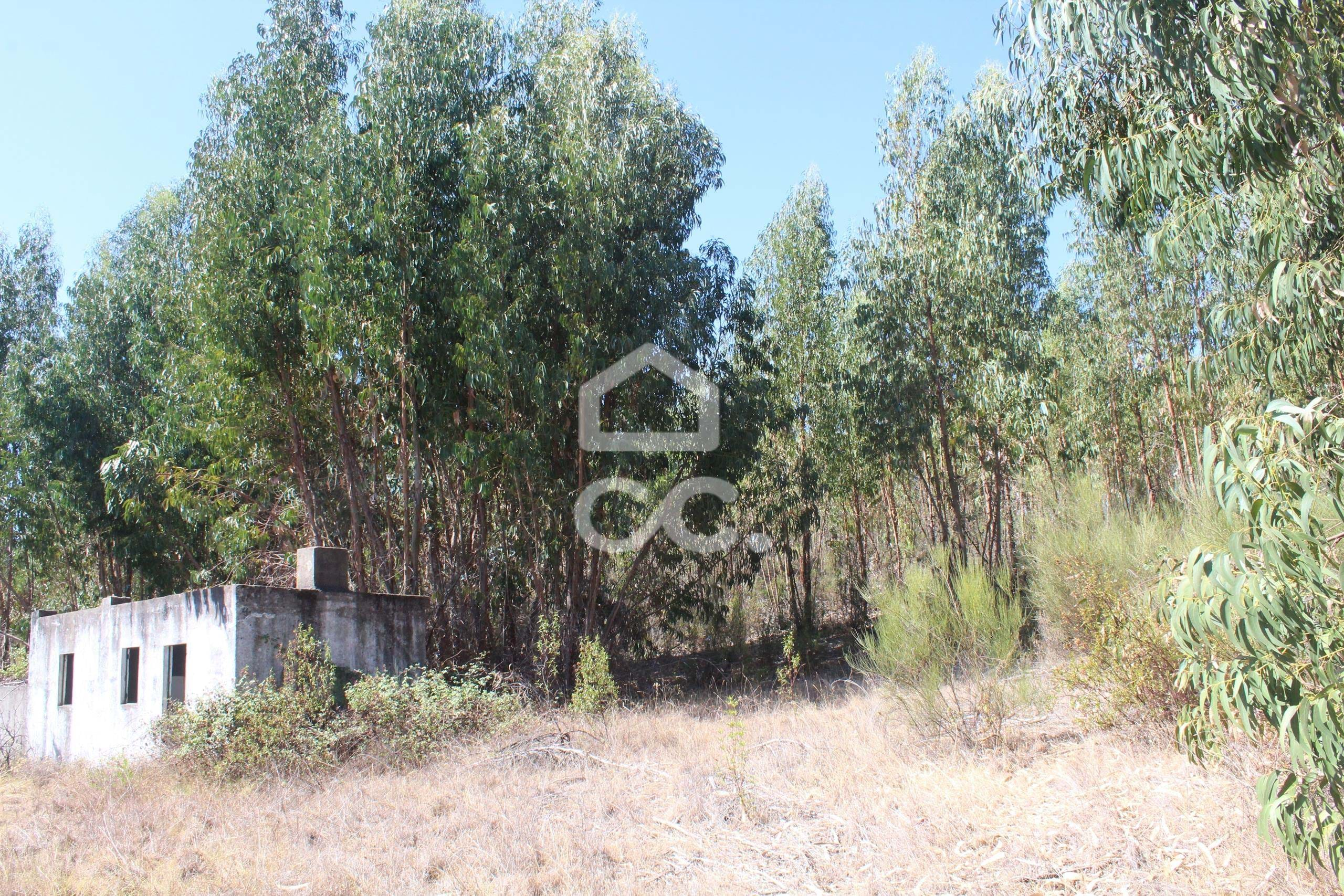
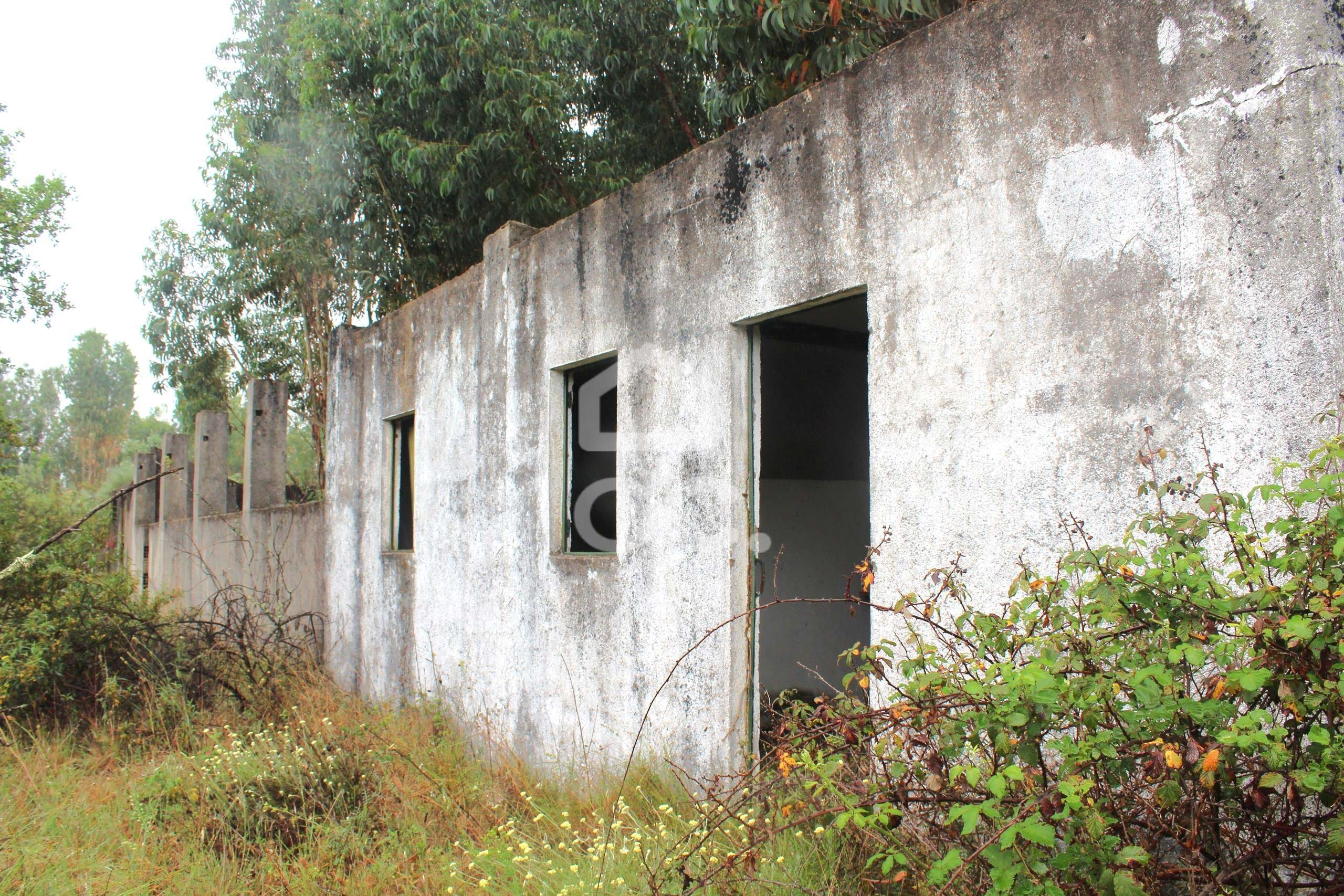
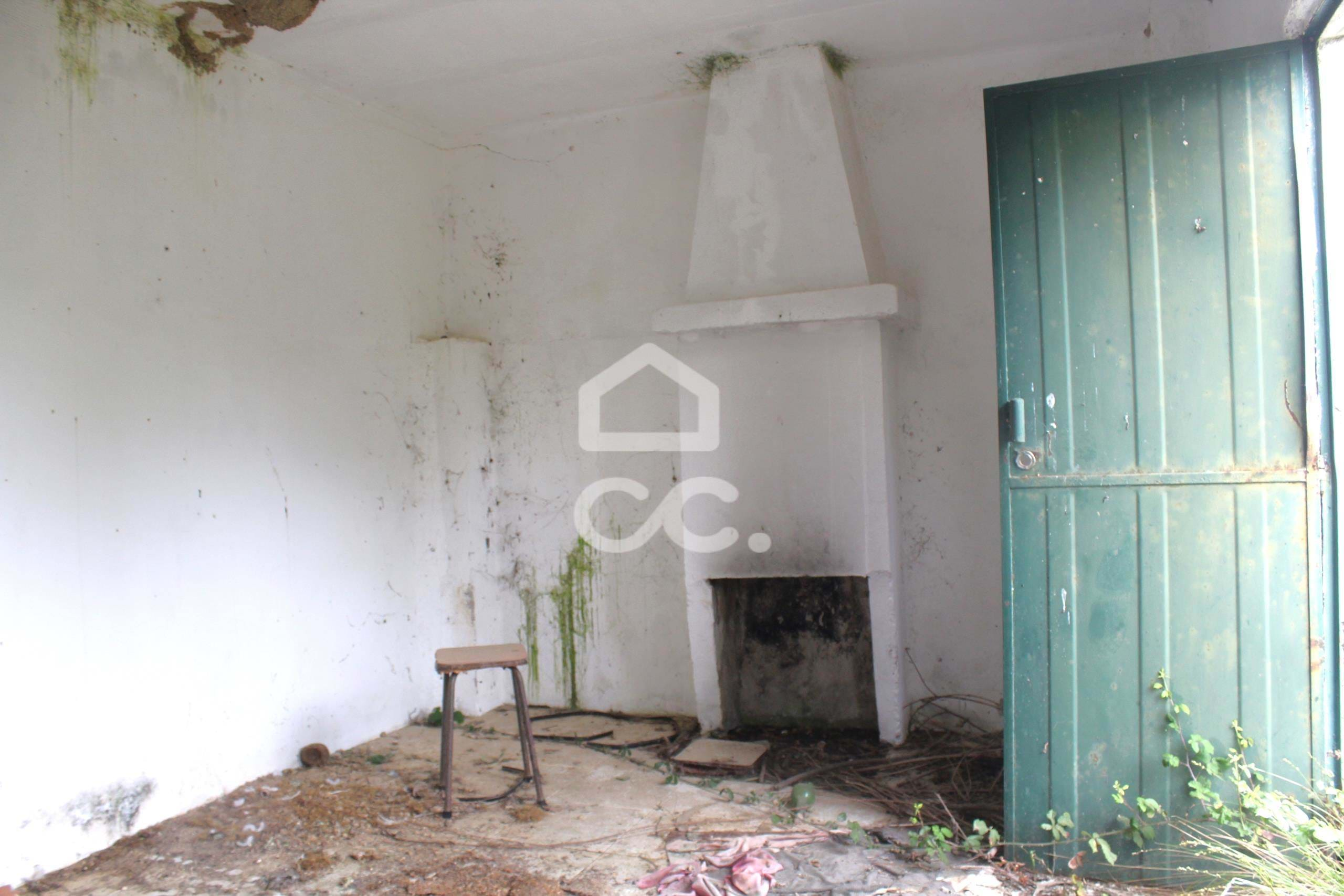
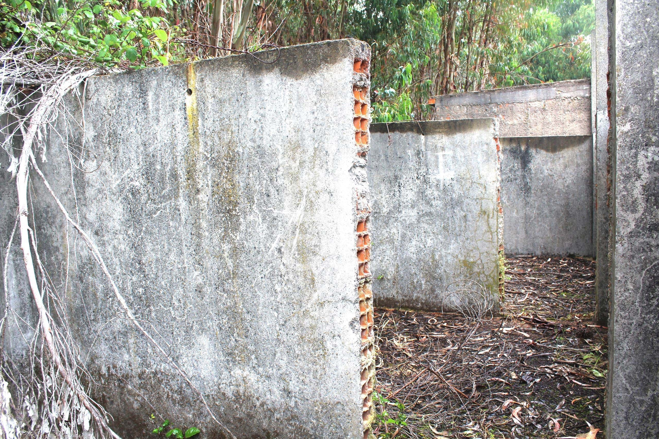
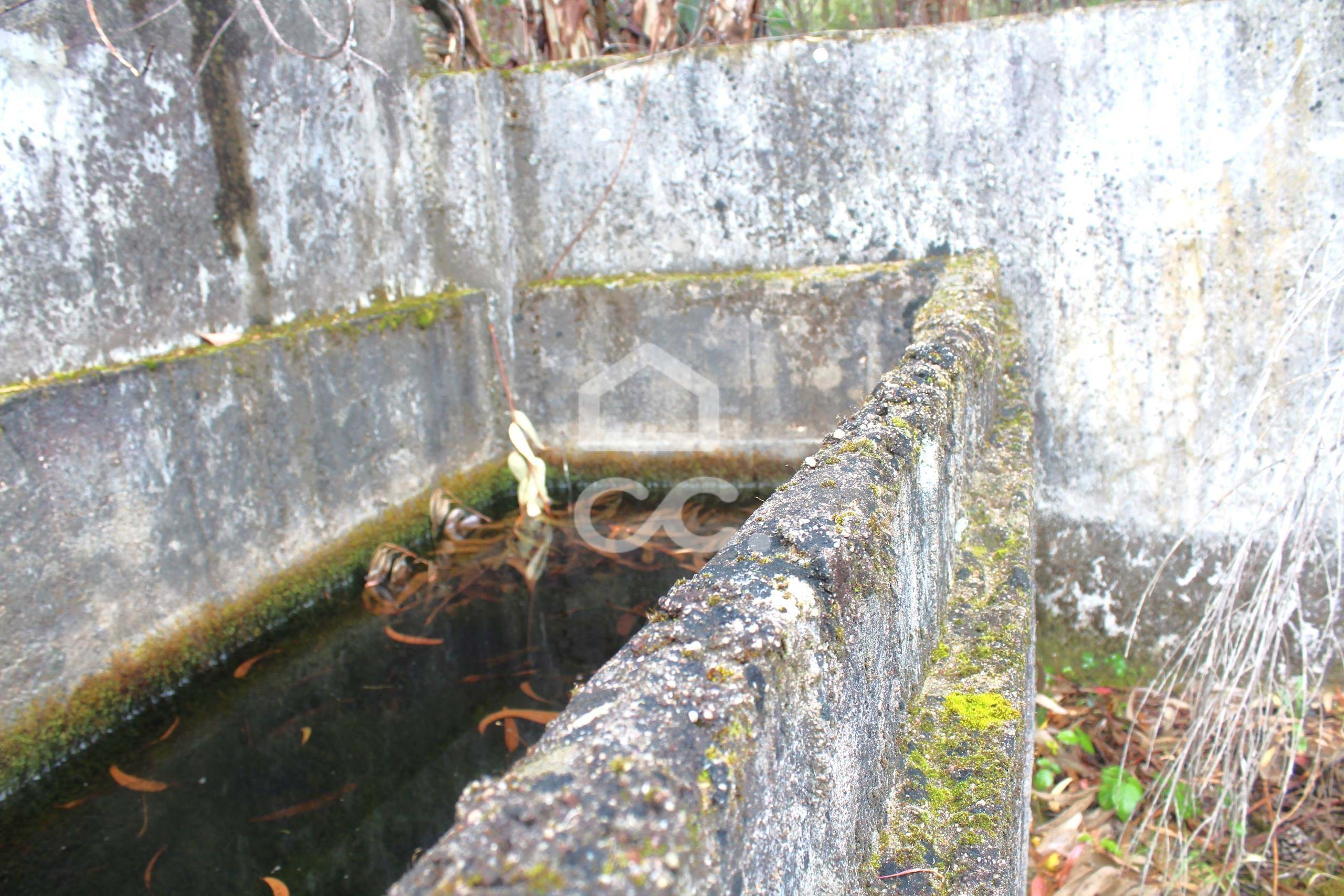
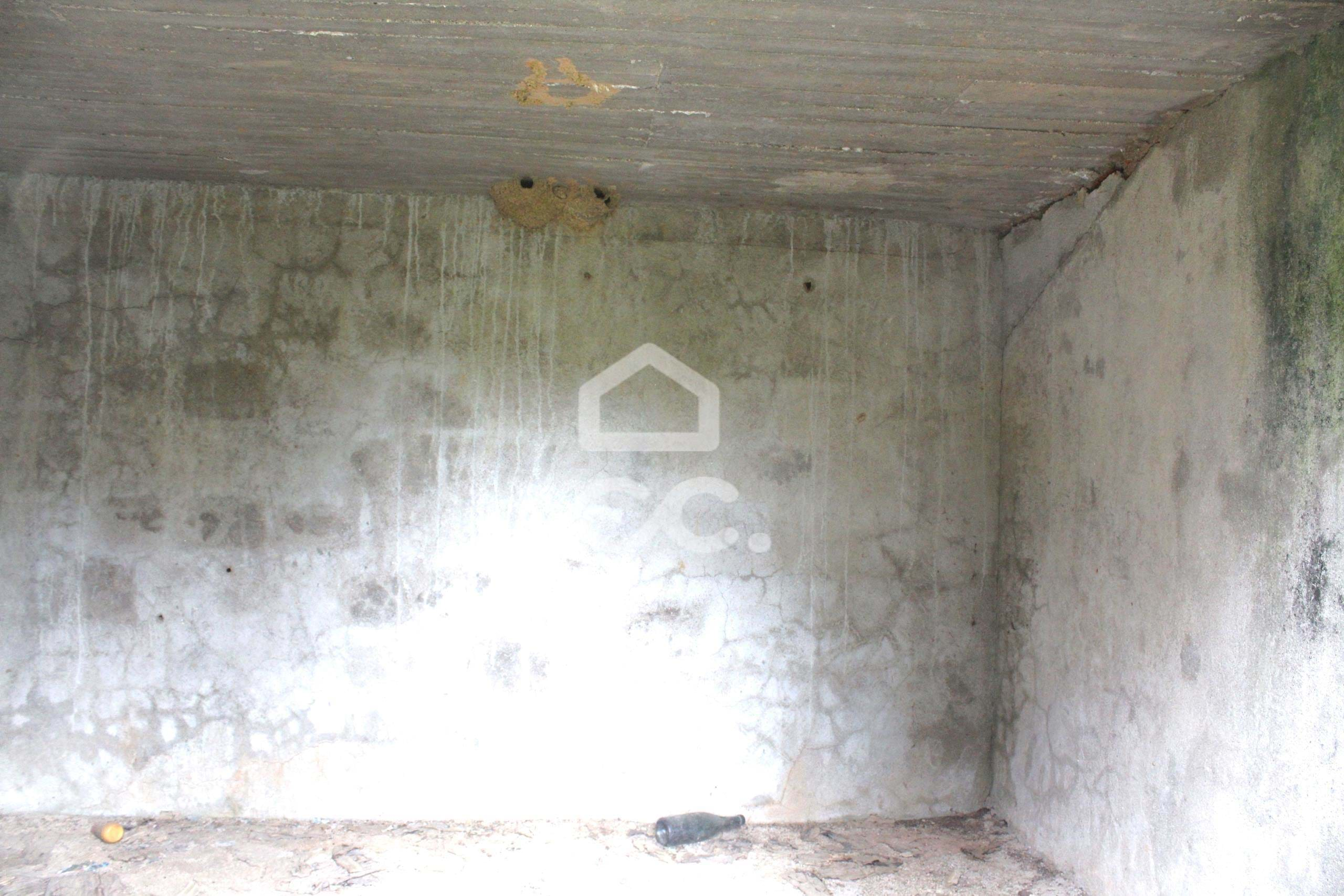
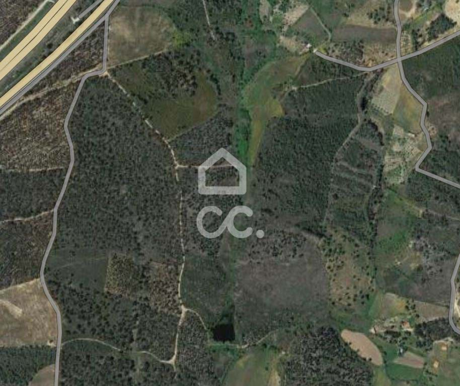
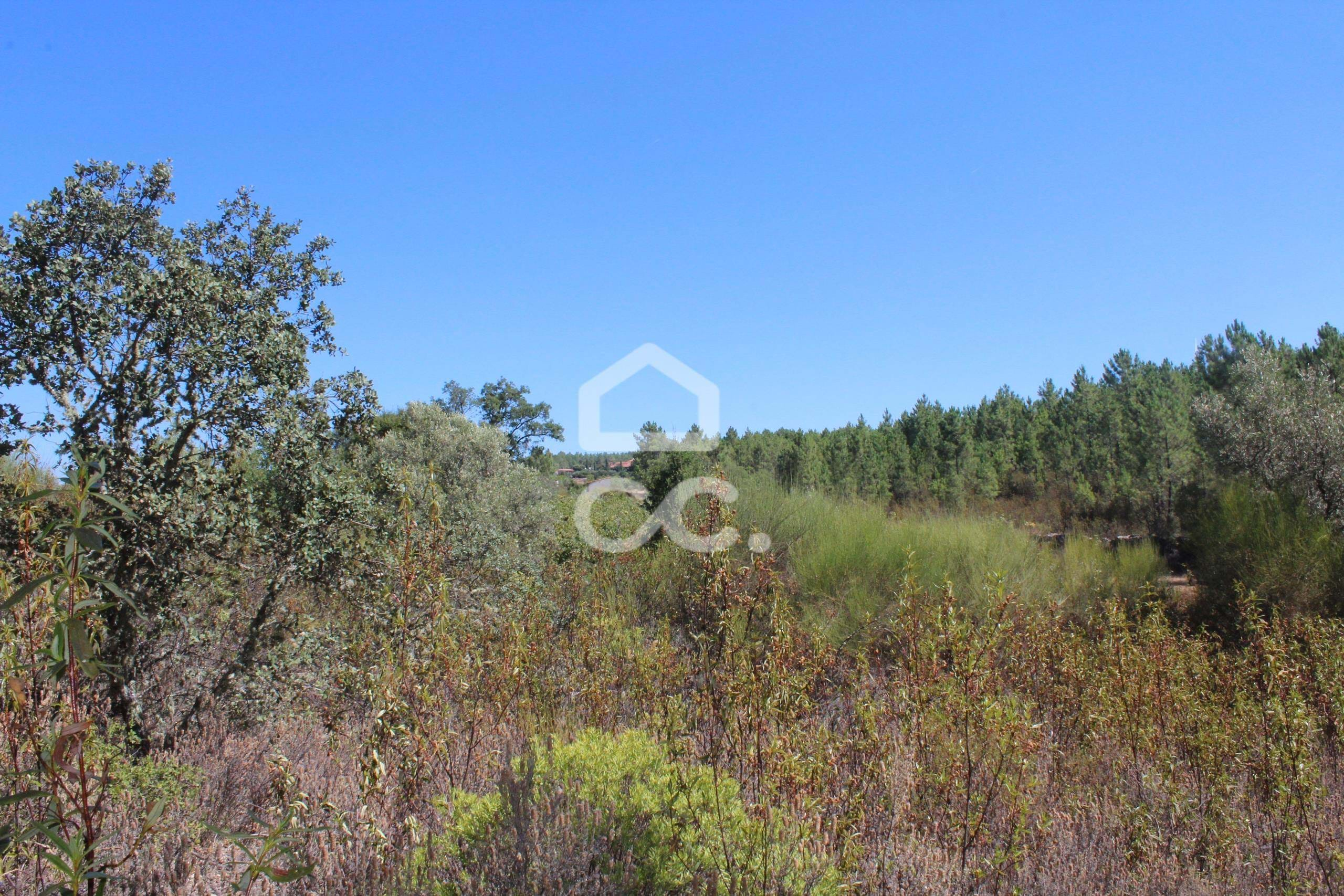
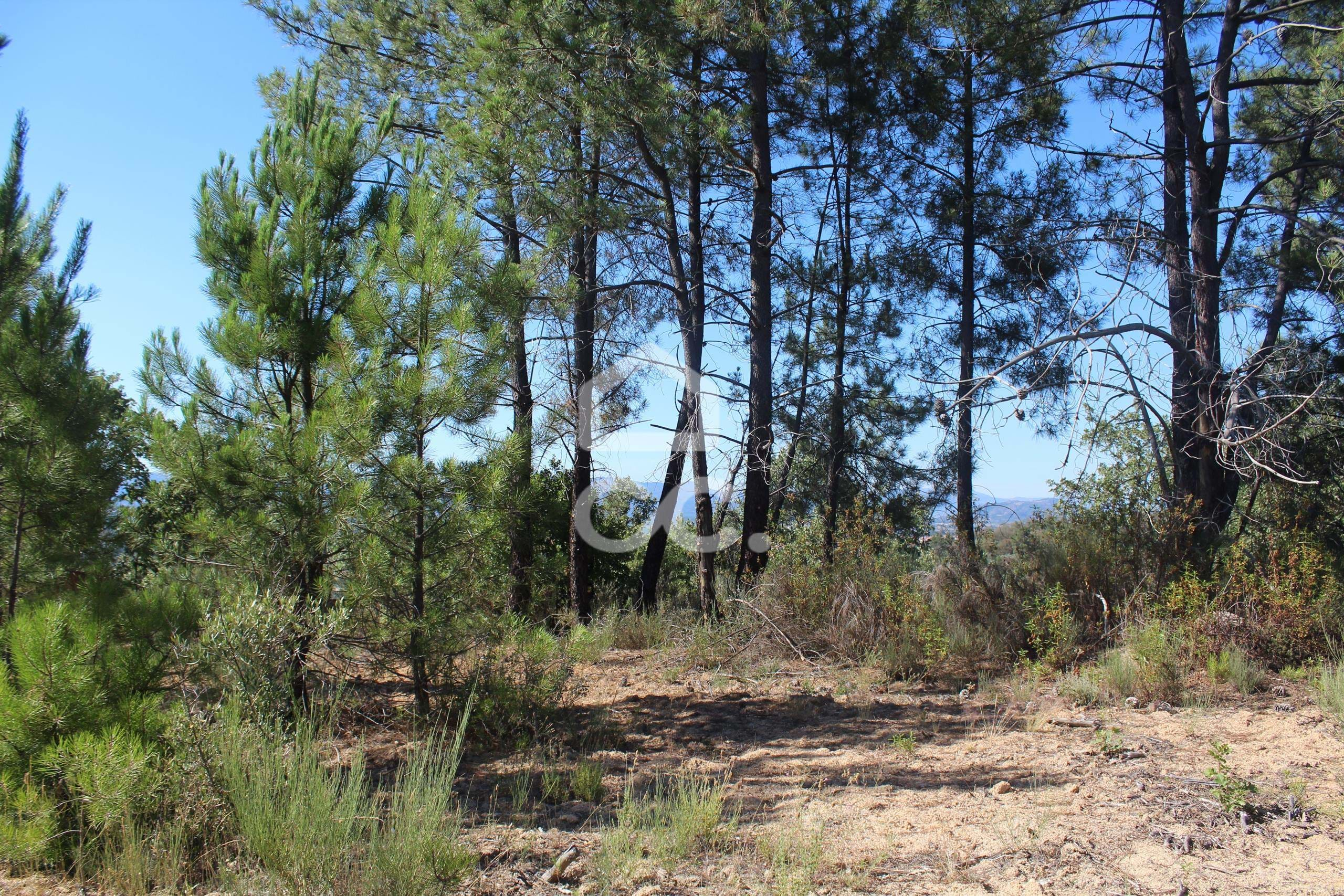
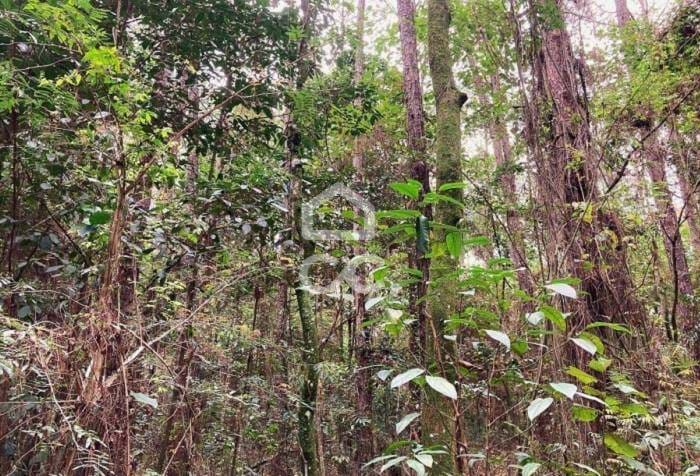
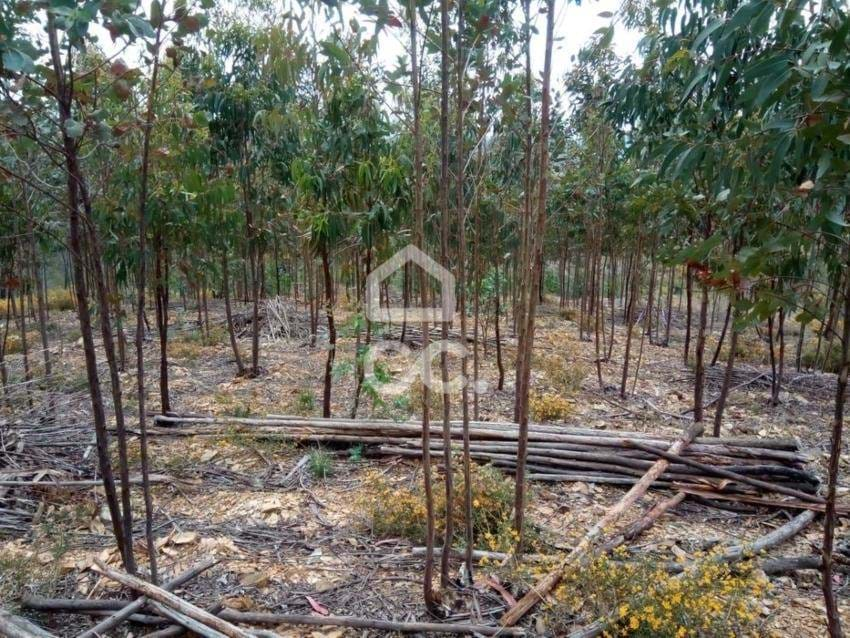
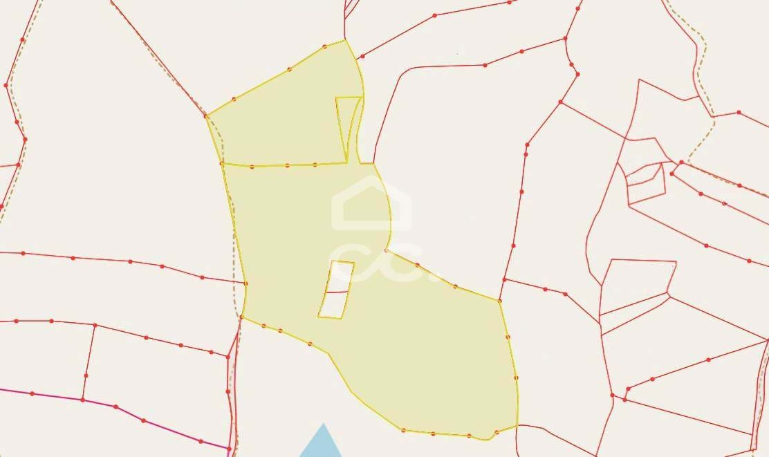
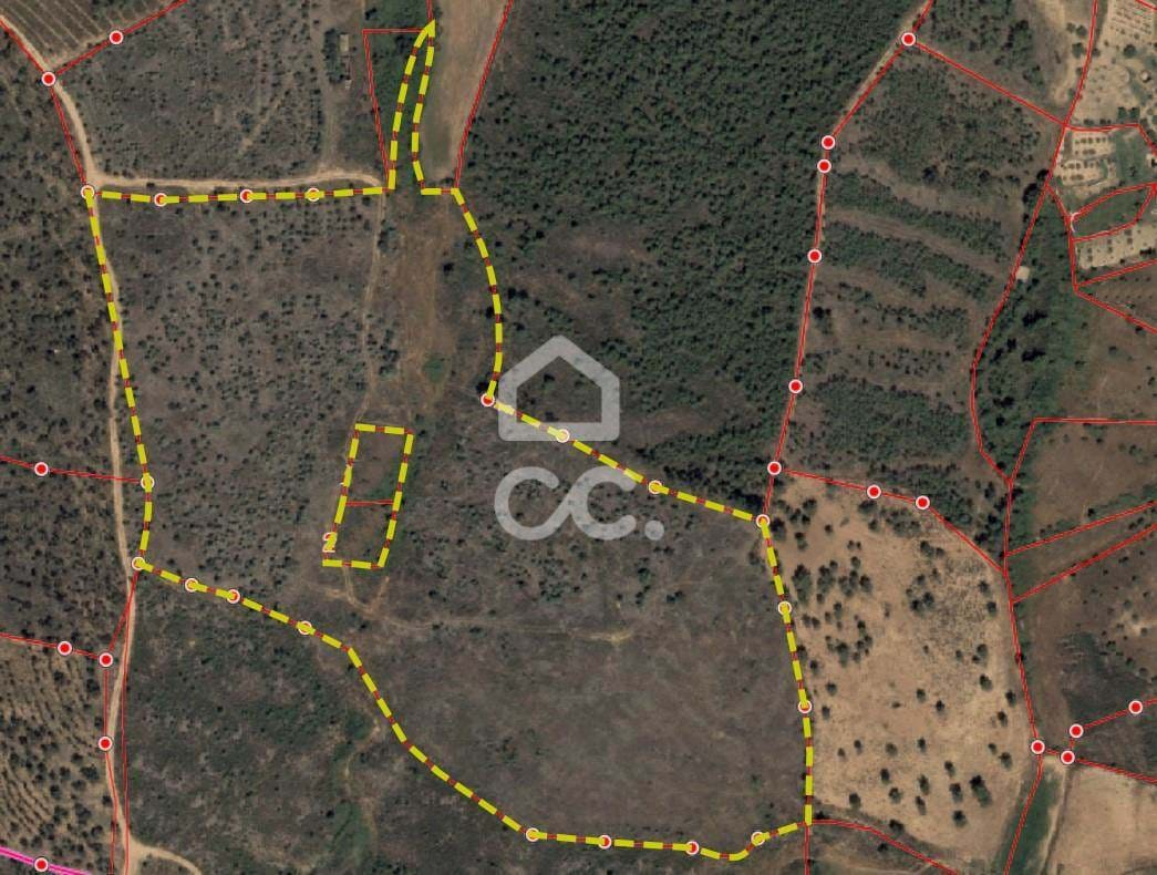
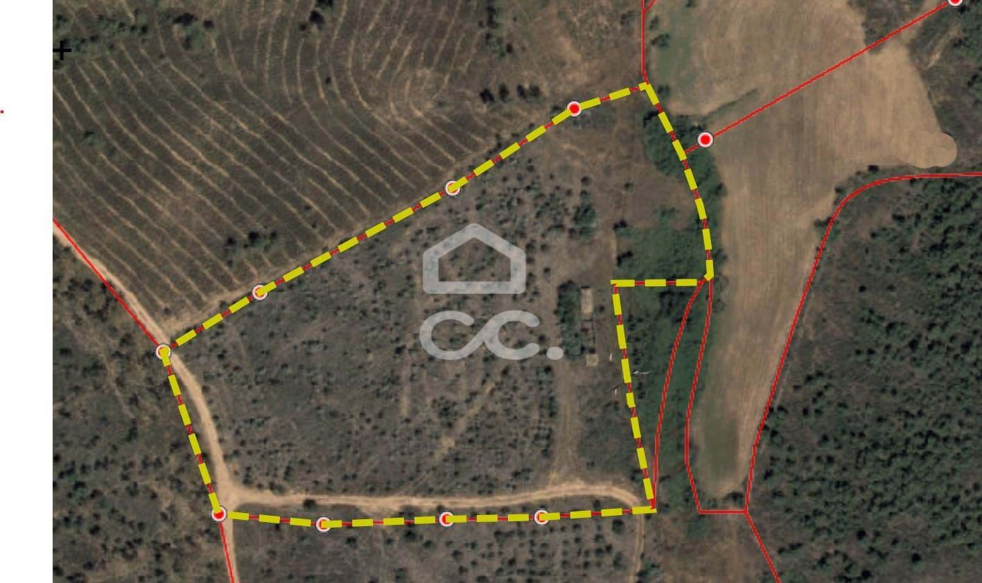
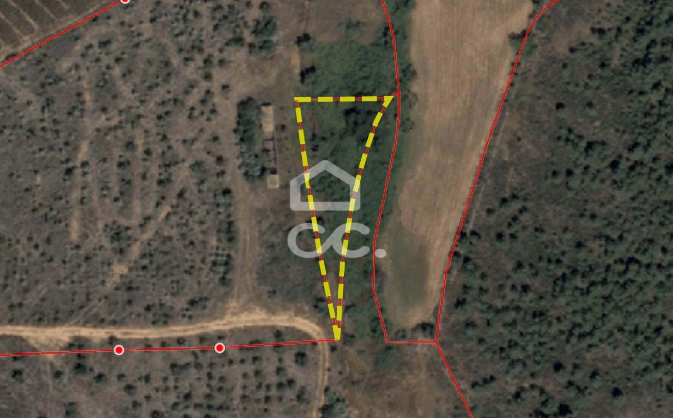
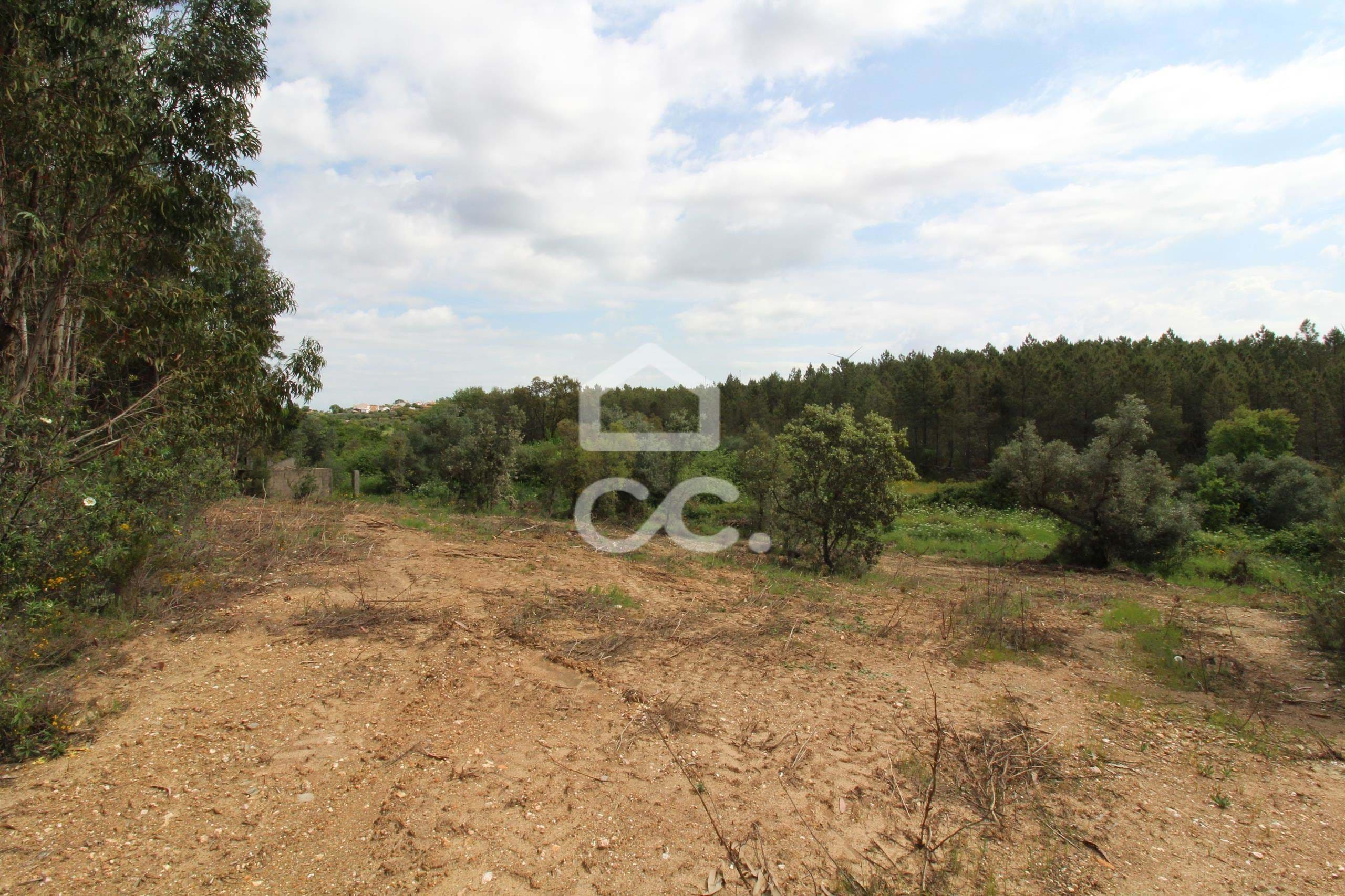
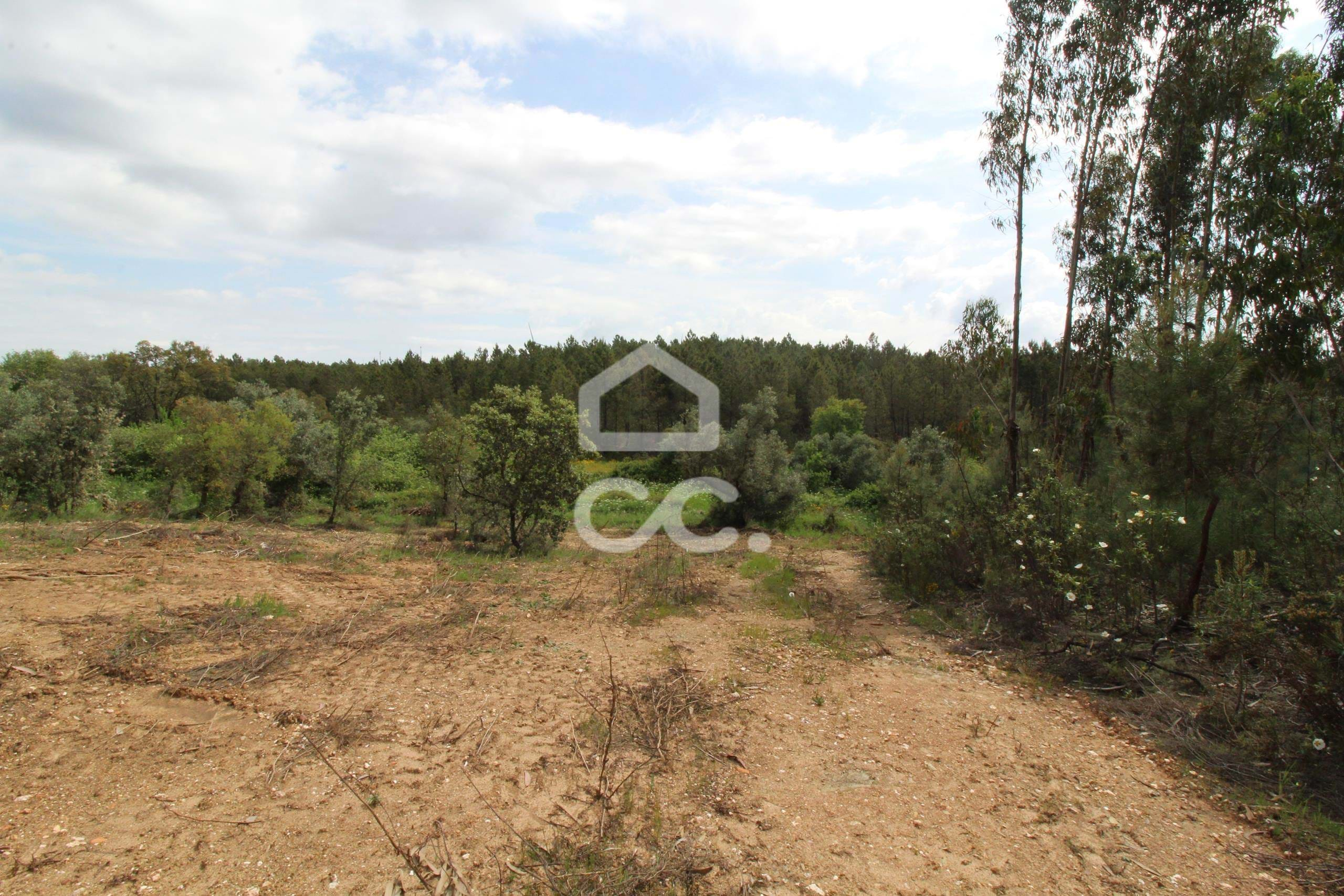
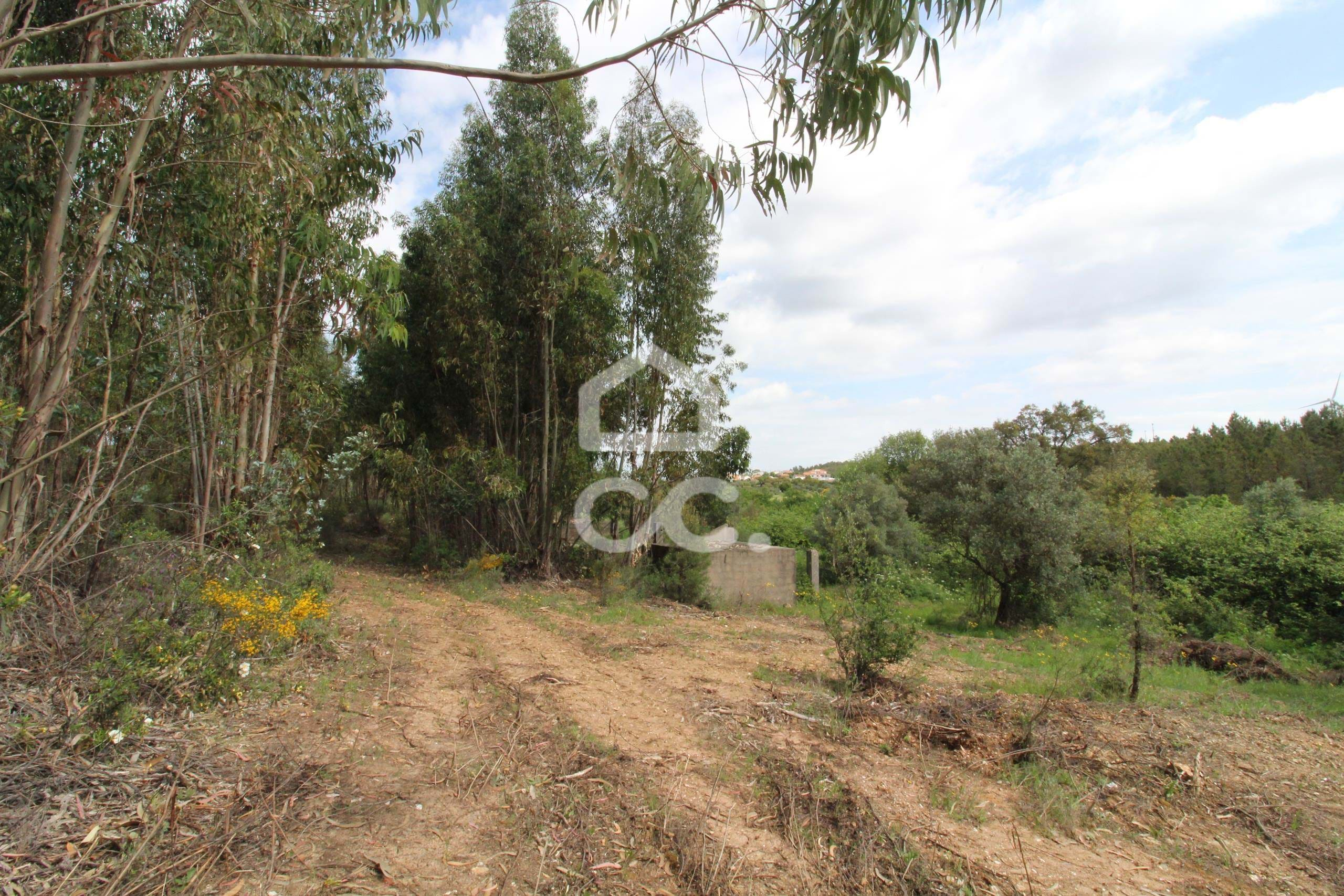
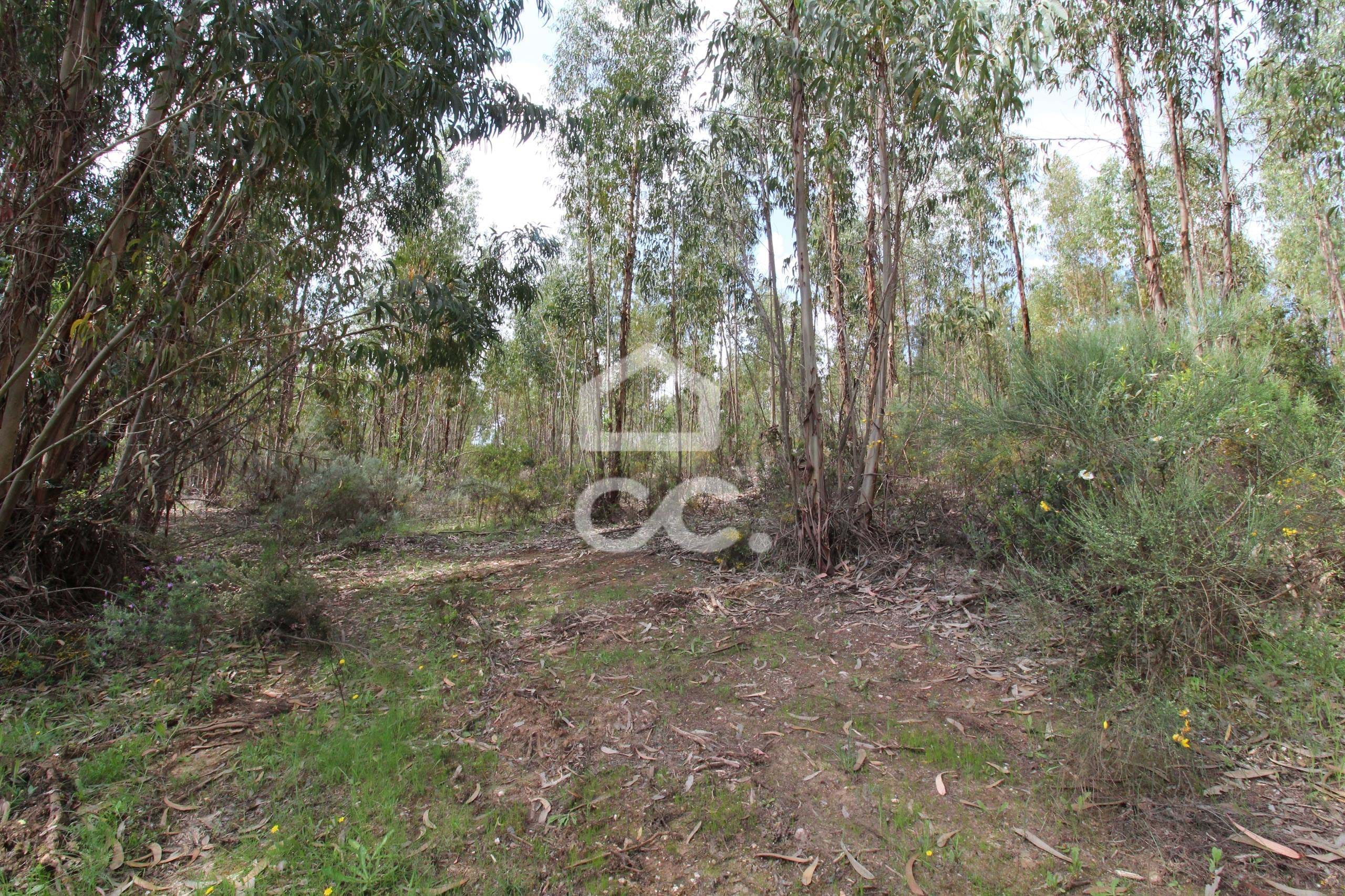
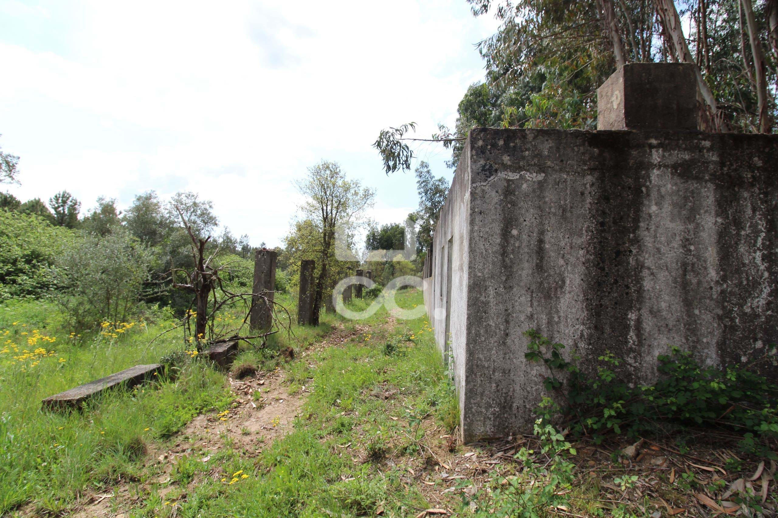
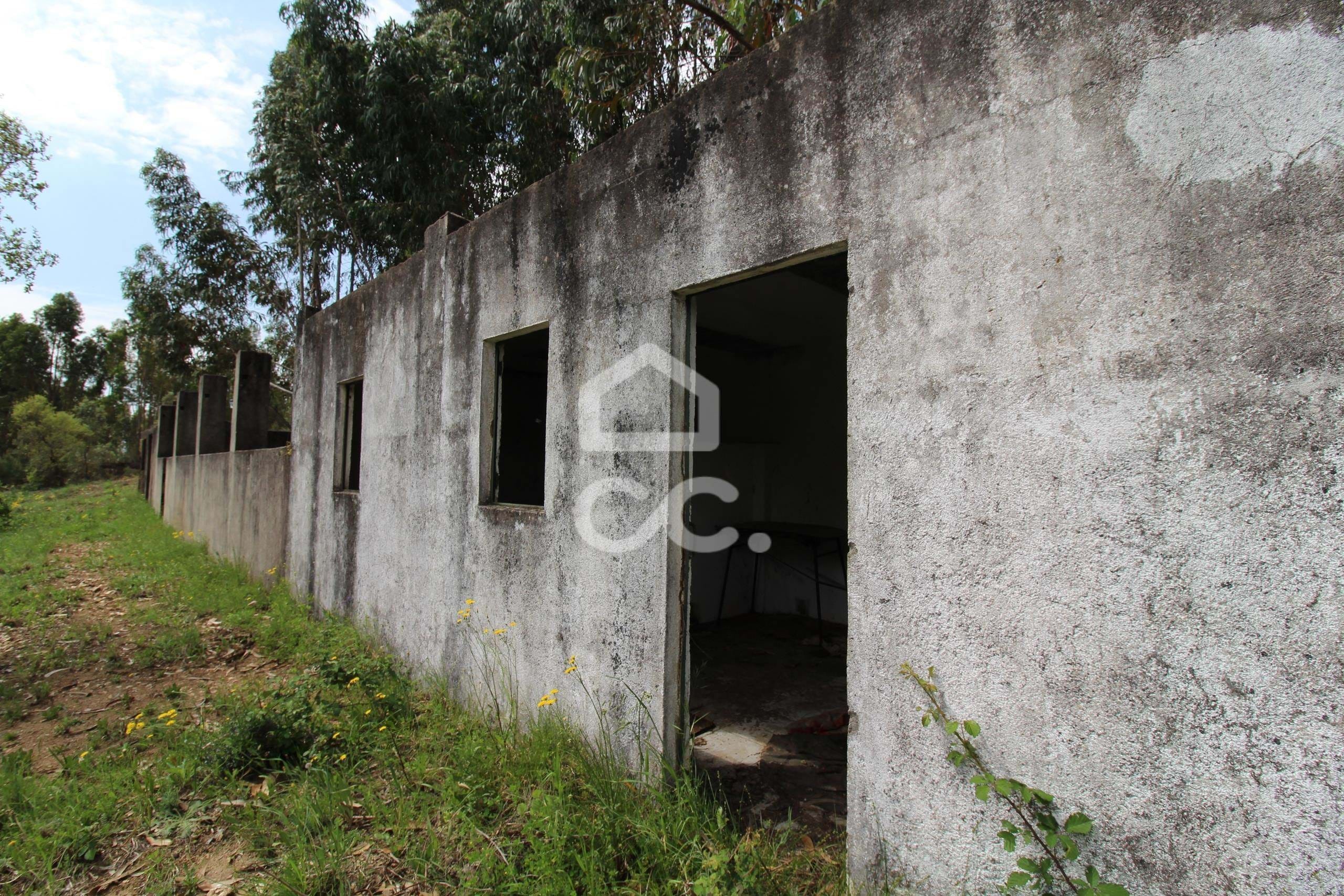
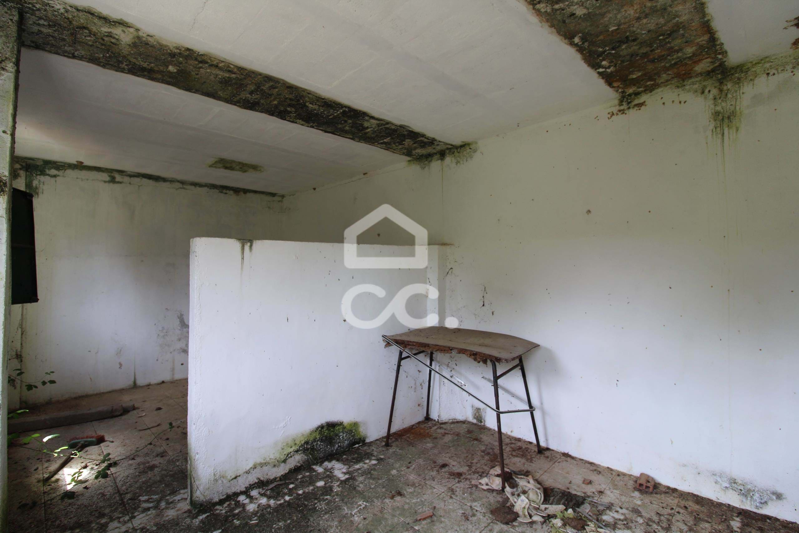
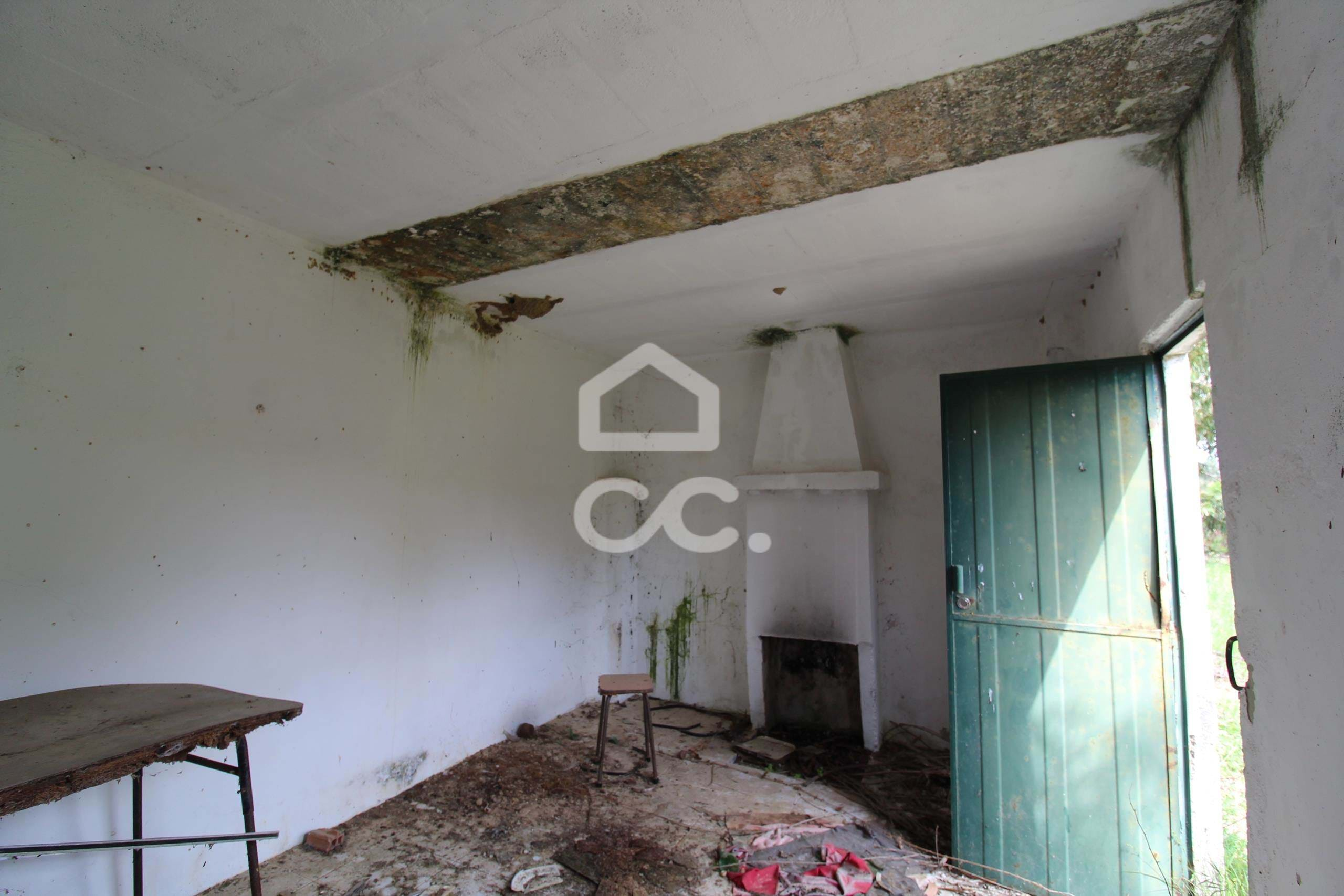
Land with 65,250 m2 in the Dam - Castelo Branco
General details of the property
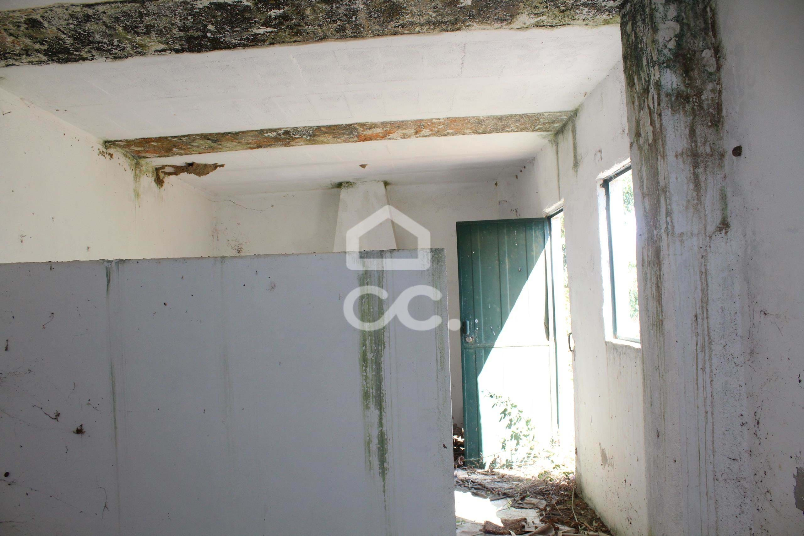
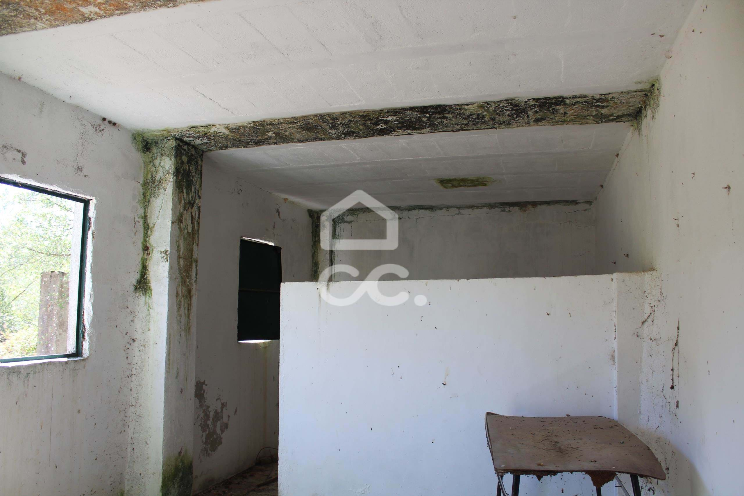
- State:
- Equipped kitchen: Não
- Gross area: 65250 m2
- Fireplace: Não
- Useful area: 65250 m2
- Land area: 65250 m2
- Terrace: Não
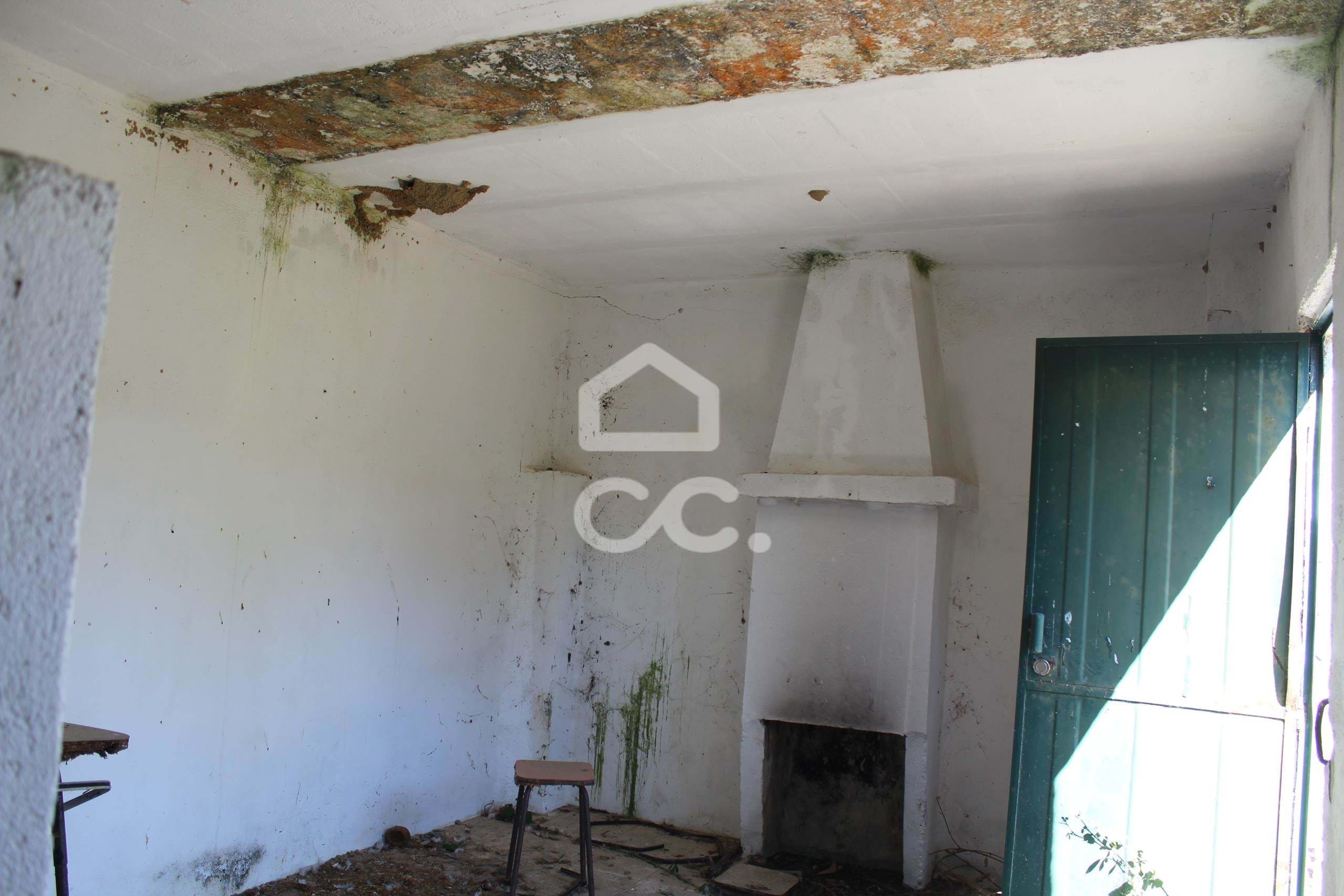
Discover this unique and wonderfully located plot of land in the charming town of Castelo Branco. With an area of 65,250 m², this plot offers stunning mountain views, providing a calm and tranquil setting to build your dream home. Situated just a short walk from the renowned O Ramalhete restaurant, this plot is perfect for food lovers who want to explore the rich culinary offer of the region. With a plethora of delicious options just a few steps away, this spot is a true paradise for food enthusiasts. Unique opportunity for those looking for a plot of land with great potential, in an area rich in history and culinary tradition. Allow yourself to fall in love with the beauty and flavor of Castelo Branco, while enjoying all the wonders that this charming city has to offer. Come and make this land the perfect setting for your next real estate adventure.
